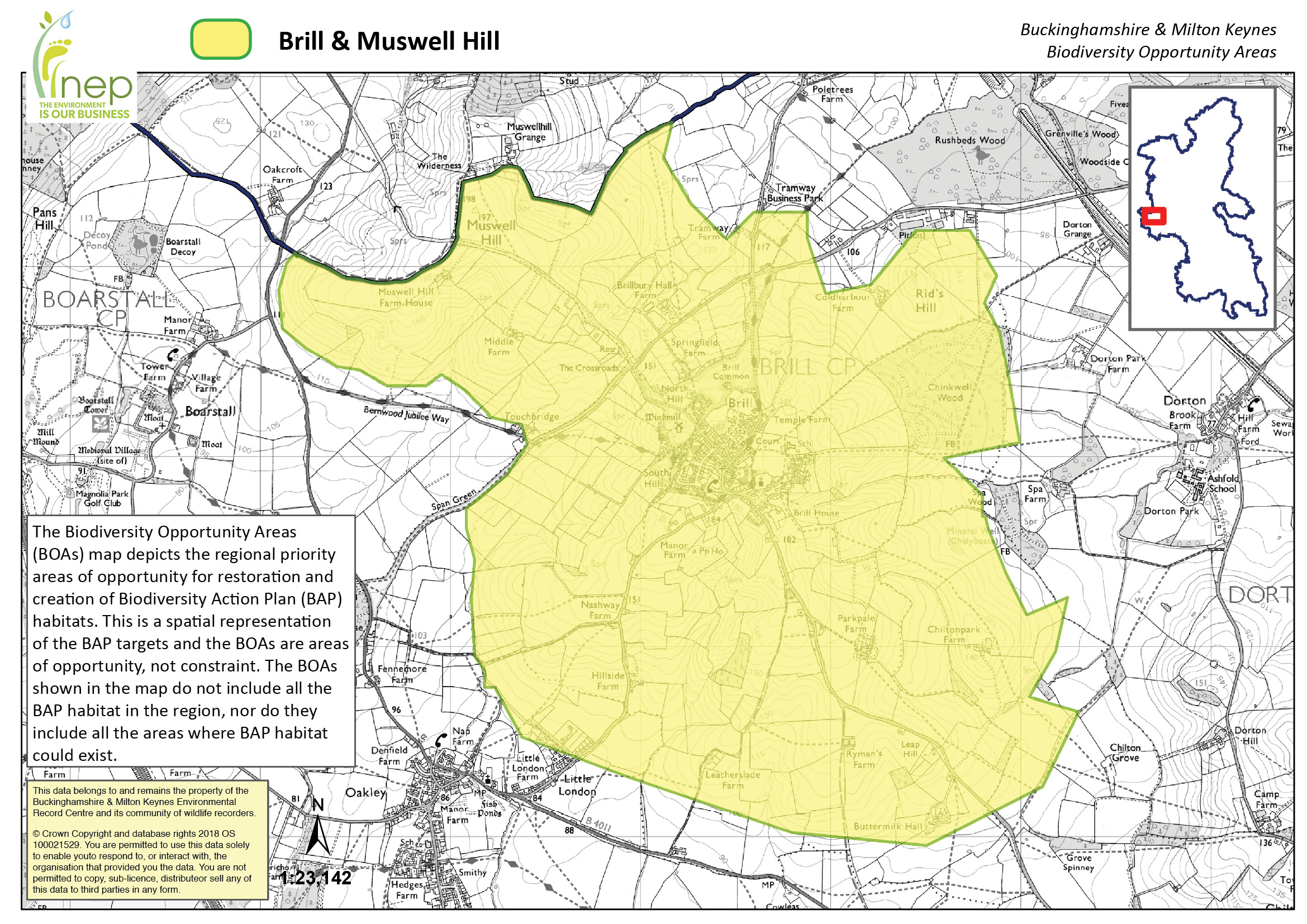
A geologically complex hill rising from the surrounding lowlands of the Bernwood Forest It lies adjacent to Bernwood BOA.
Area Coverage: 922 ha
Local wildlife sites: 4
SSSI: 1

Joint Character Area: Midvale Ridge, a small area is within Upper Thames Clay Vales
Landscape Types: Brill Hill is a wooded and farmed chalk outcrop.
Geology: Brill Hill and Muswell Hill consist of sandstone capping limestone, with the lower slopes being interbedded sandstone, limestone and mudstone.
Topography: Brill and Muswell Hills are very steeply sloping hills (rising up to 185m) rising out of a low flat floodplain.
Biodiversity:
Woodland – There are a number of small lowland deciduous woodlands in the area.
Calcareous Grassland – Brill Common is a matrix of calcareous and acid grasslands.
Acid Grassland – Brill Common is a matrix of calcareous and acid grasslands.
Ponds – The area contains many potential BAP habitat ponds including many on the slopes of Brill Hill.
Hedgerows – There is a good network of hedgerows around pre-18th century enclosures throughout the area, so many may be species rich.
Targets:
Woodland – Management, Restoration
Lowland Calcareous Grassland – Management, Restoration
Lowland Dry Acid Grassland – Management, Restoration
Ponds – Management, Restoration, Creation
Hedgerows – Management, Restoration, Creation
Archeology: There is a scheduled ancient monument at Brill and it is part of a much larger Mediaeval Hunting Forest.
Places to visit:
Brill Parish Council own Brill Common
The Bernwood Way starts at Brill and there is a good network of footpaths throughout the area